So my first full day on the island started off leisurely, the shuttle service was scheduled to come by the lodge at around 9:30AM, but with that caveat that they only promise to get everywhere… Eventually… He came at about 10:00, so it wasn’t a terribly long wait. The day was overcast which was a bit of a disappointment, but the views during the drive to the trailhead that was suggested by Wayne, the driver/owner of the accommodation. I did try and take some pictures, but perhaps I should have just taken one shot of the road to explain why none the pictures I tried in route came out, because the road was awful. It was not paved once we got outside of the town, and incredibly steep and narrow. Because it was so steep to keep traction they just dump a huge amount of small rocks on the road, so the ride was very bumpy and noisy. Since there were so few people on the island I was the only one to be picked up so I spent the drive to the trailhead talking about living on an isolated island with Wayne. He told me that right now was definitely the off-season, and that there were only a handful of tourists on the island, and that during the summer months the population of the island would actually quadruple from the influx of people. I also found it very interesting that everyone on the island has to generate their own power, and there are no wells or springs, so the only available water is collected rainwater. Definitely gives them a different feeling for their environmental impact.
The trail he suggested for me was a 5.5 hour tramp up to the top of the tallest mountain on the island, and then along to the hot-spring area to the south. The only warning was to be careful because it had rained during the night and the trail might be a little wet in places, and to try and make it to the other side by 4:30, when someone would be there to pick me up. He dropped me off at about 11:00, and I started the day with an hour and a half’s climb to the peak.
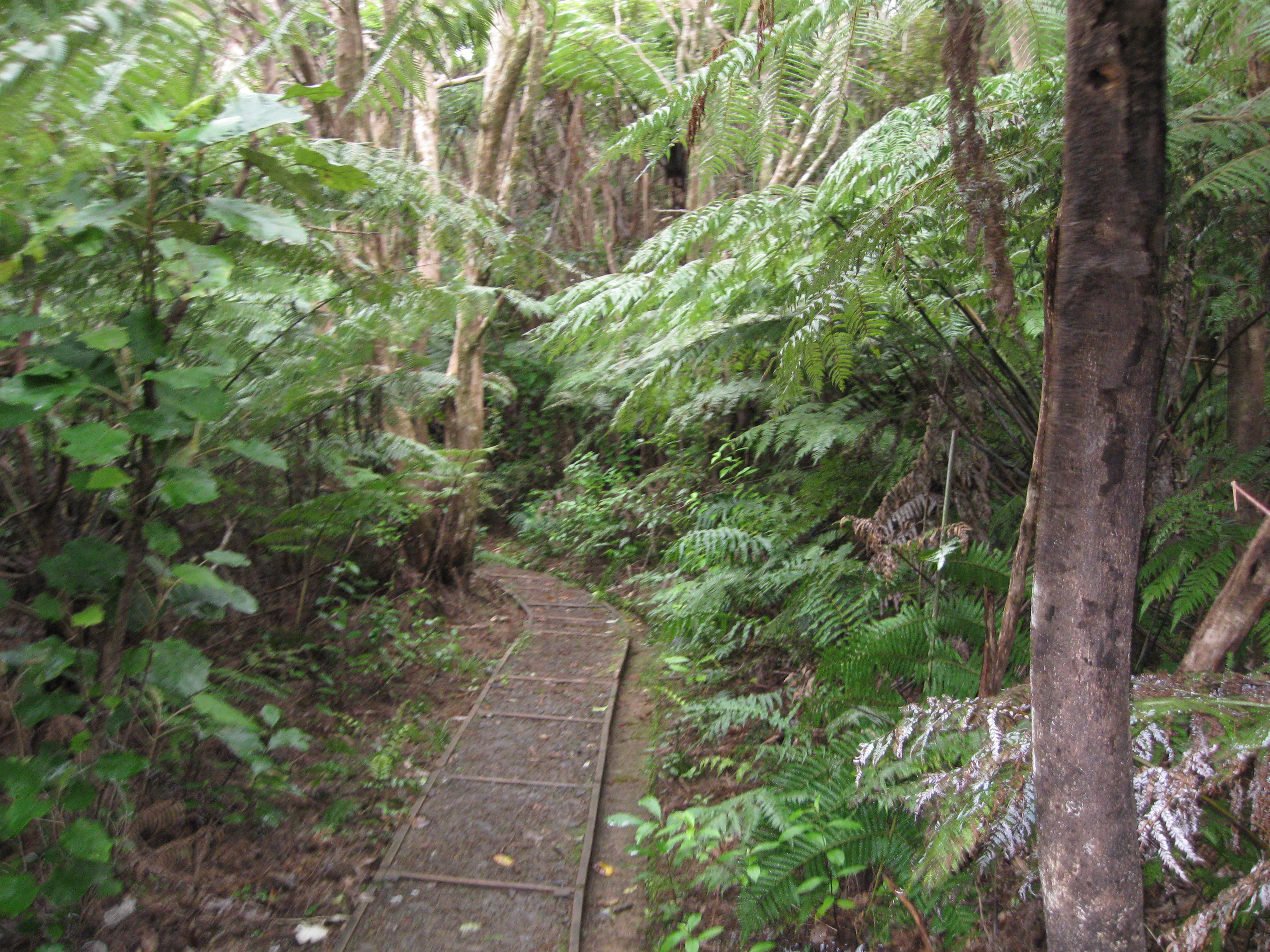
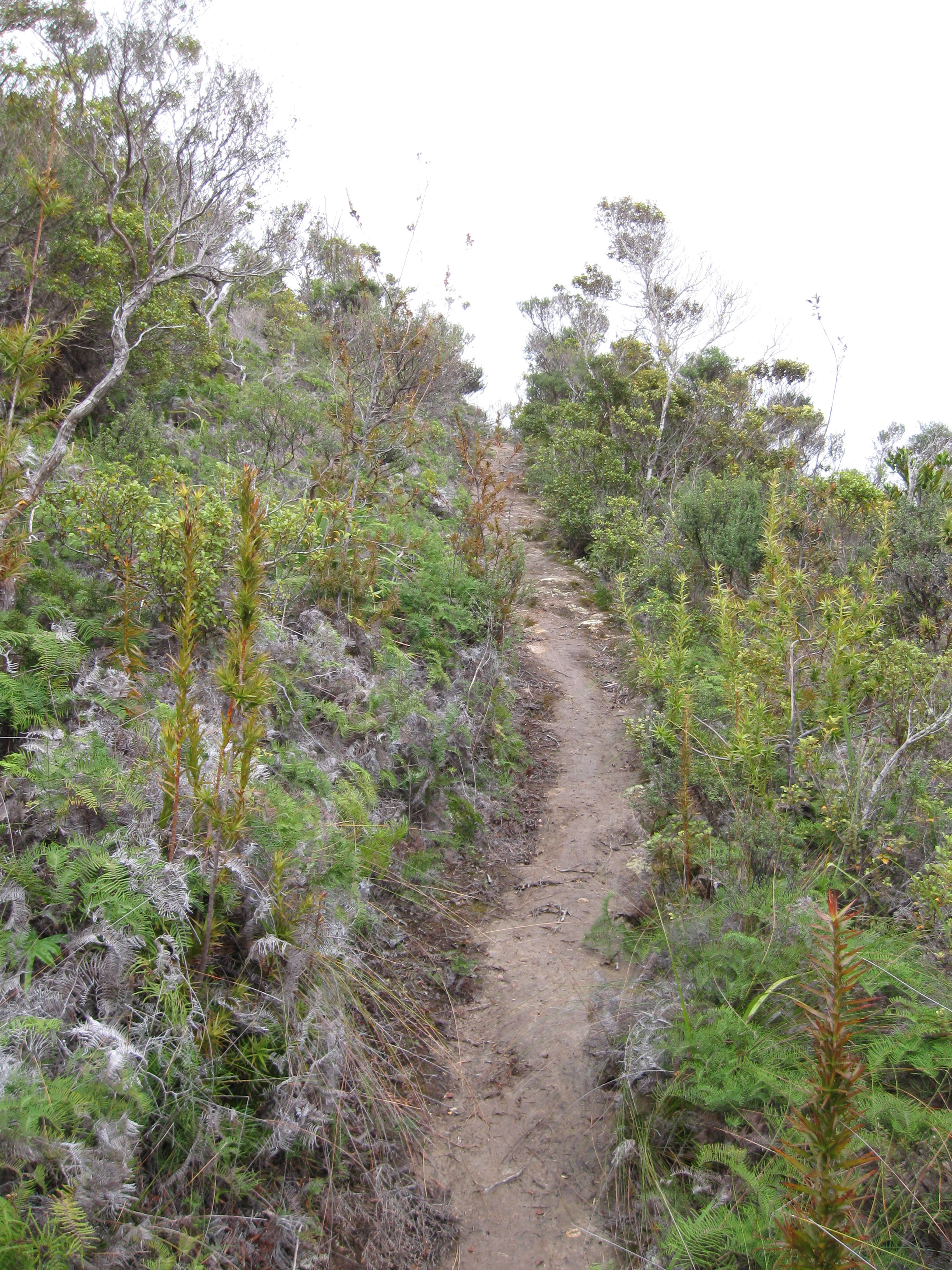
The very start.
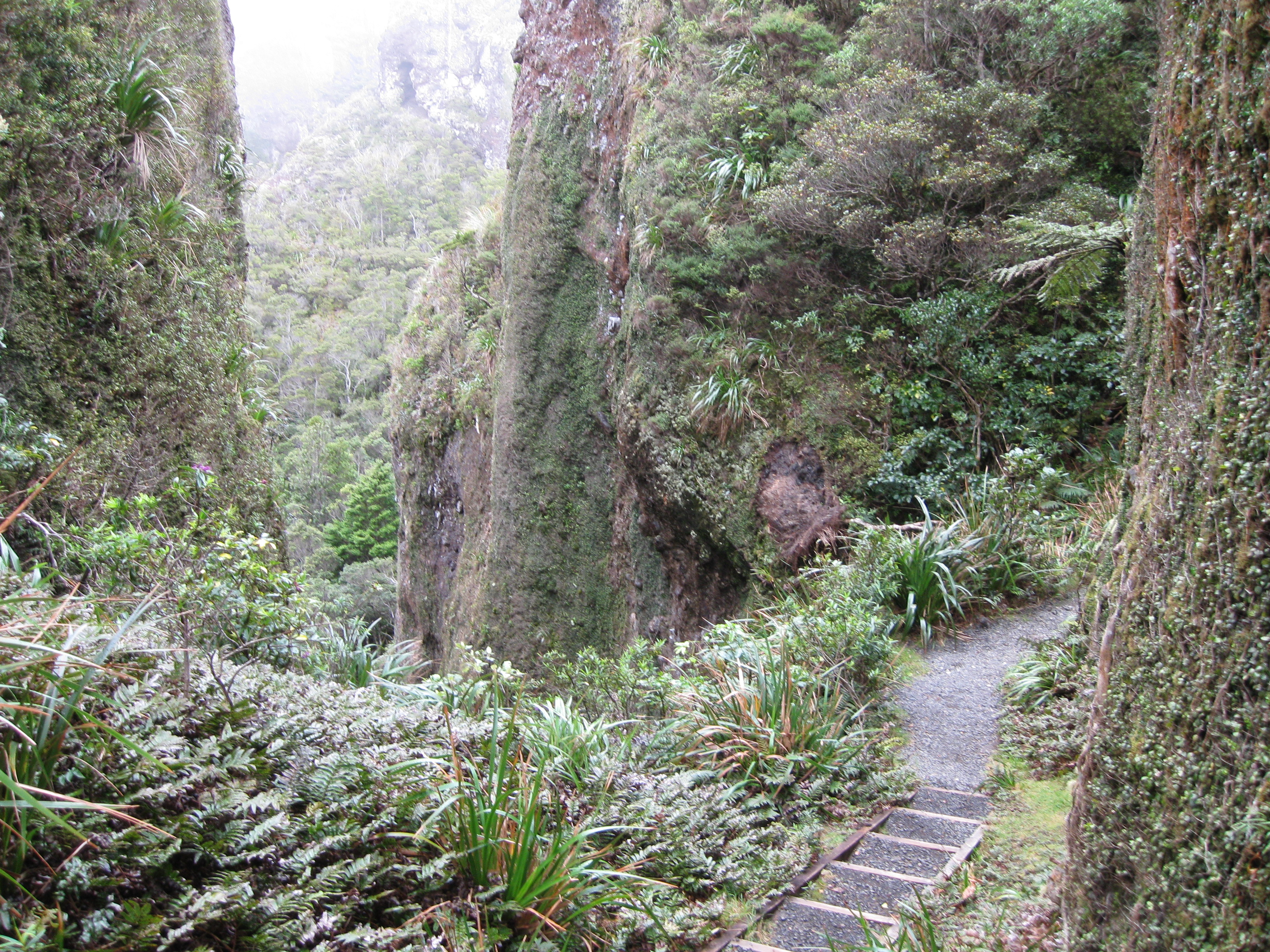
Trail went through some big rocks.
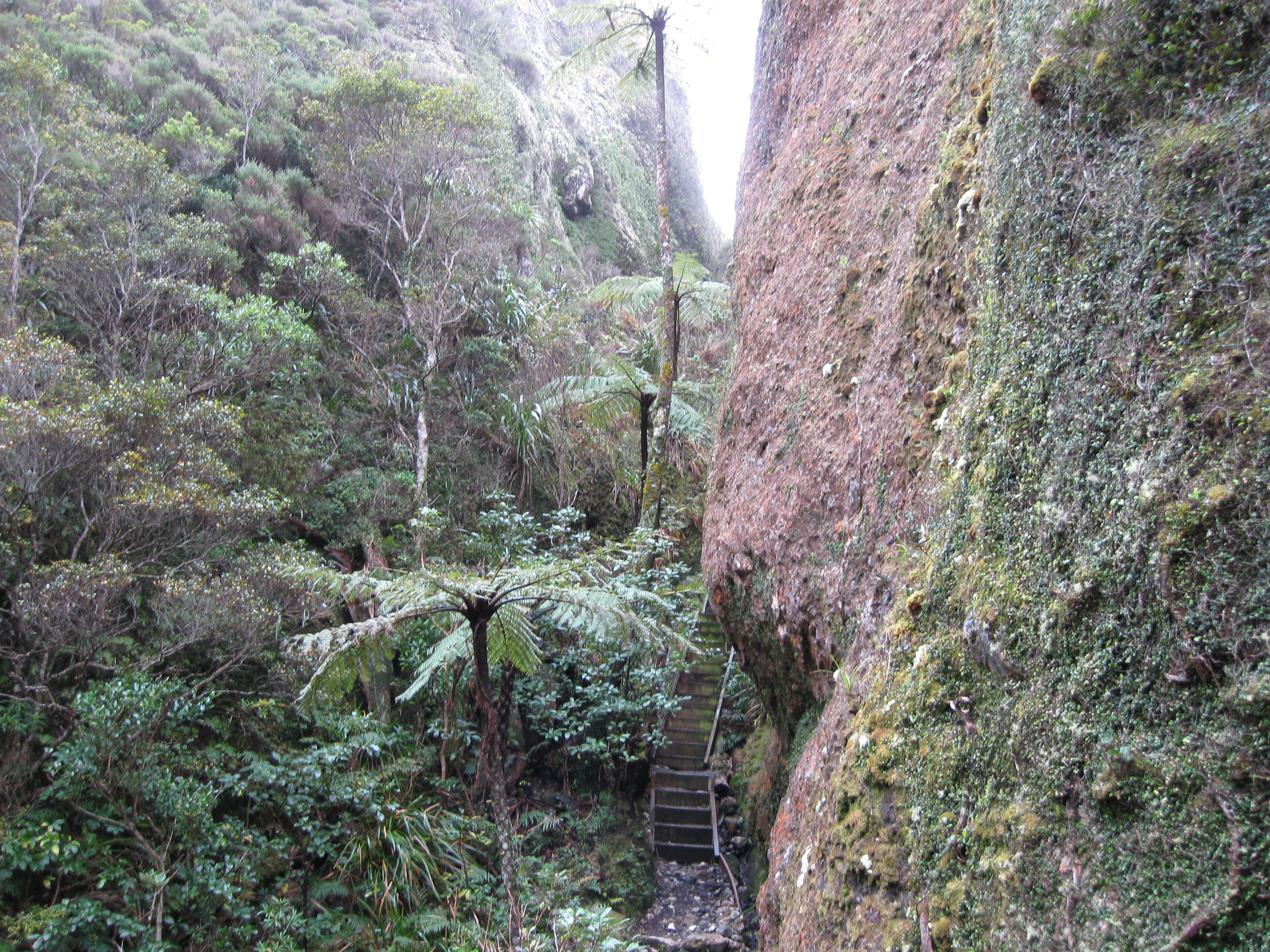
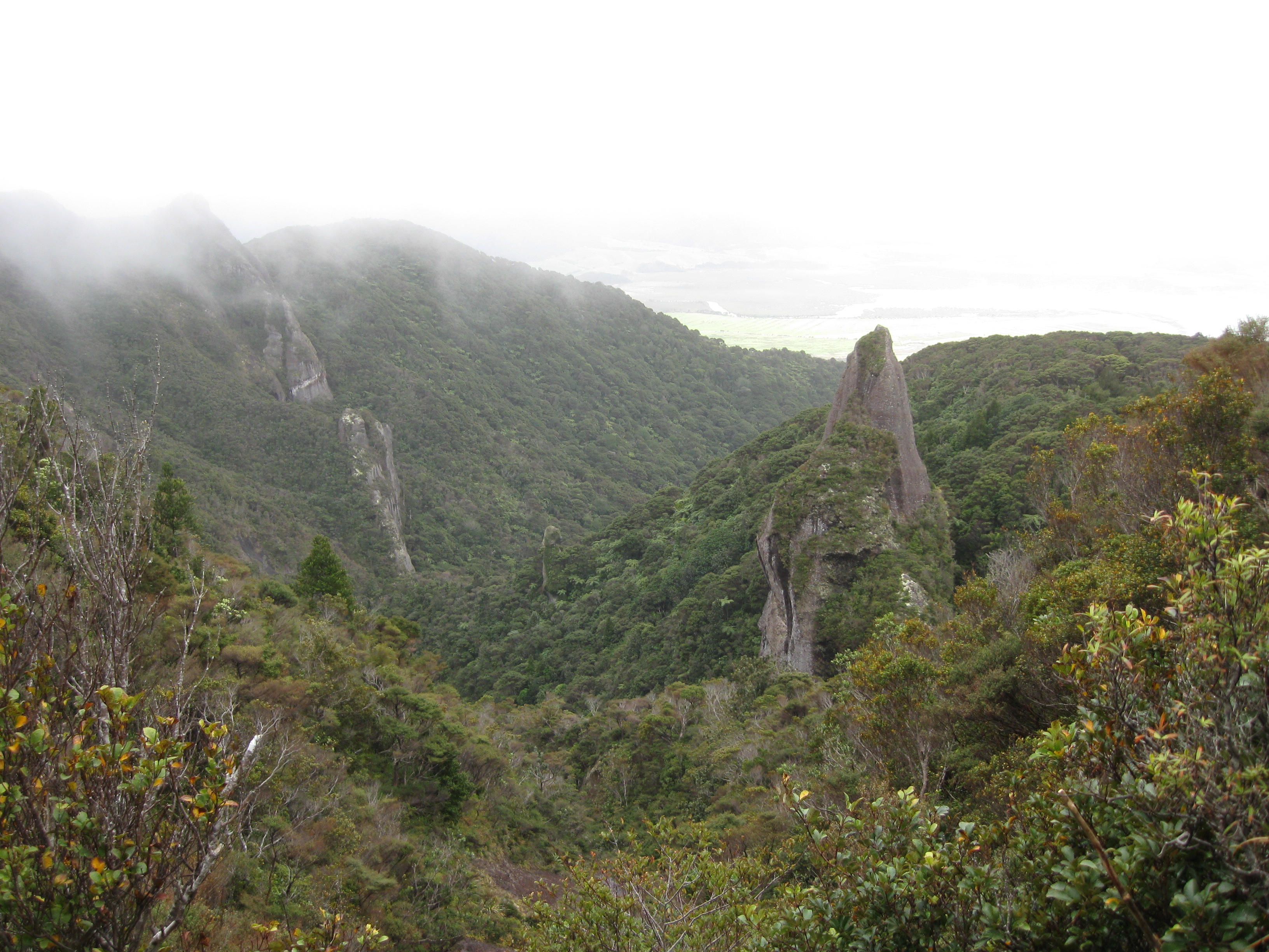
Peak in the distance.
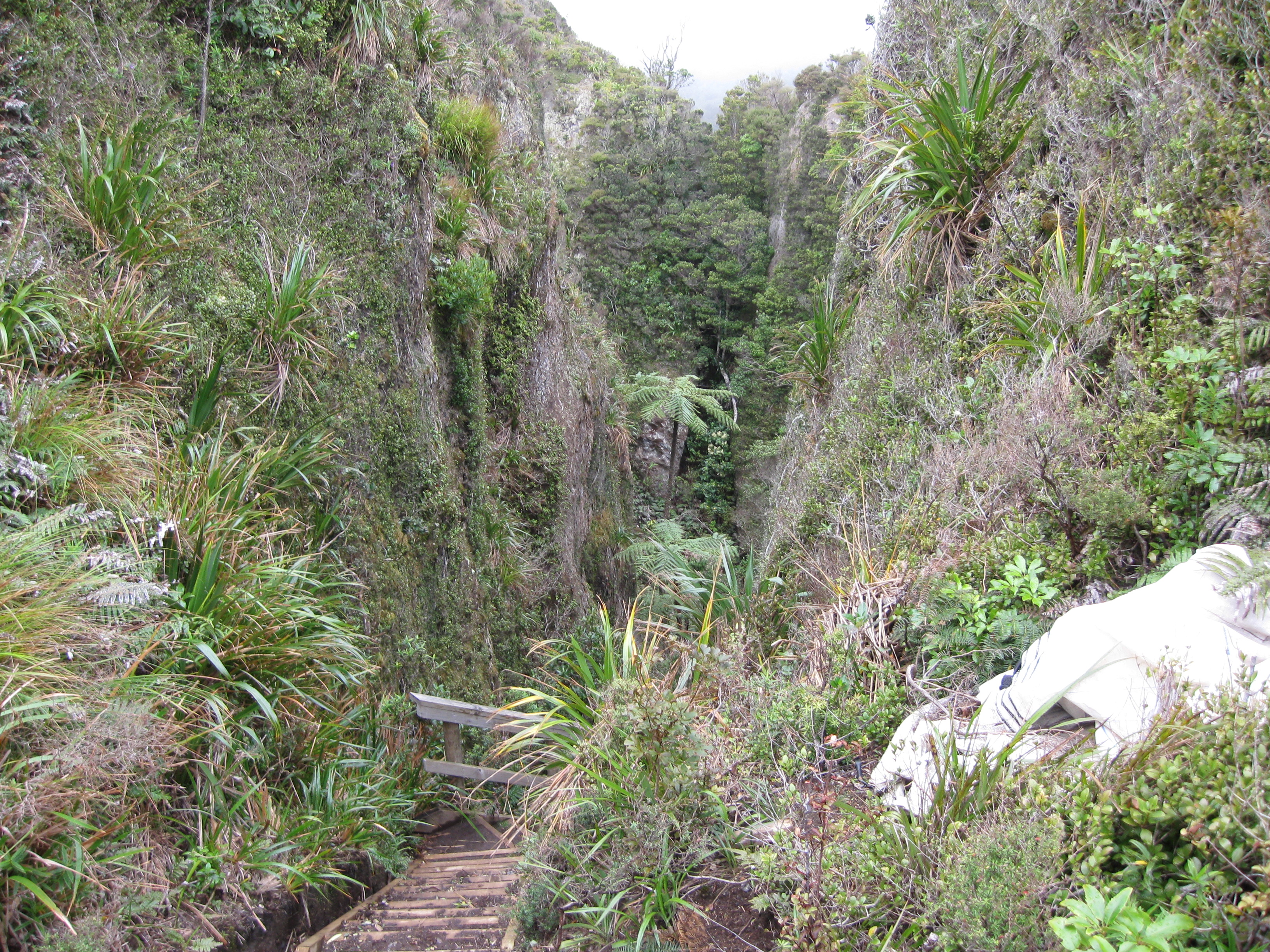
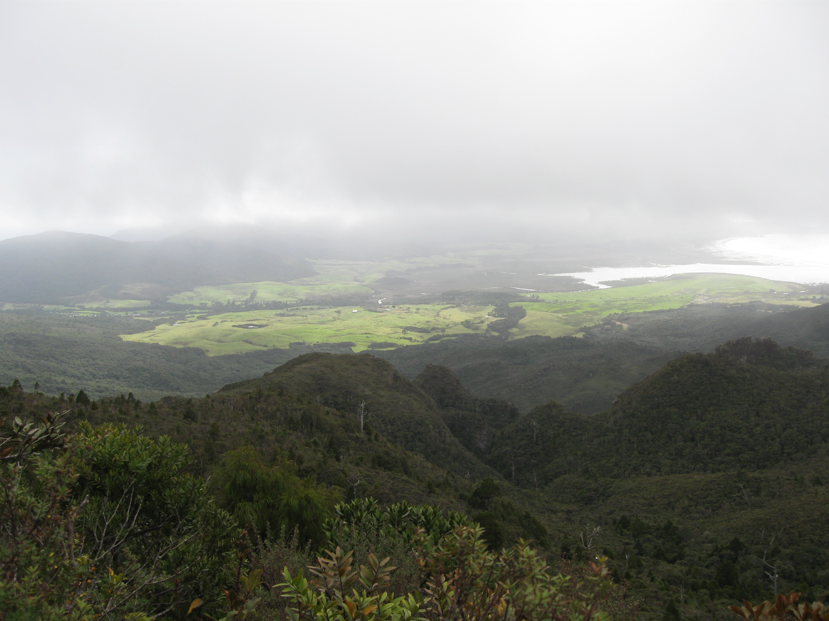
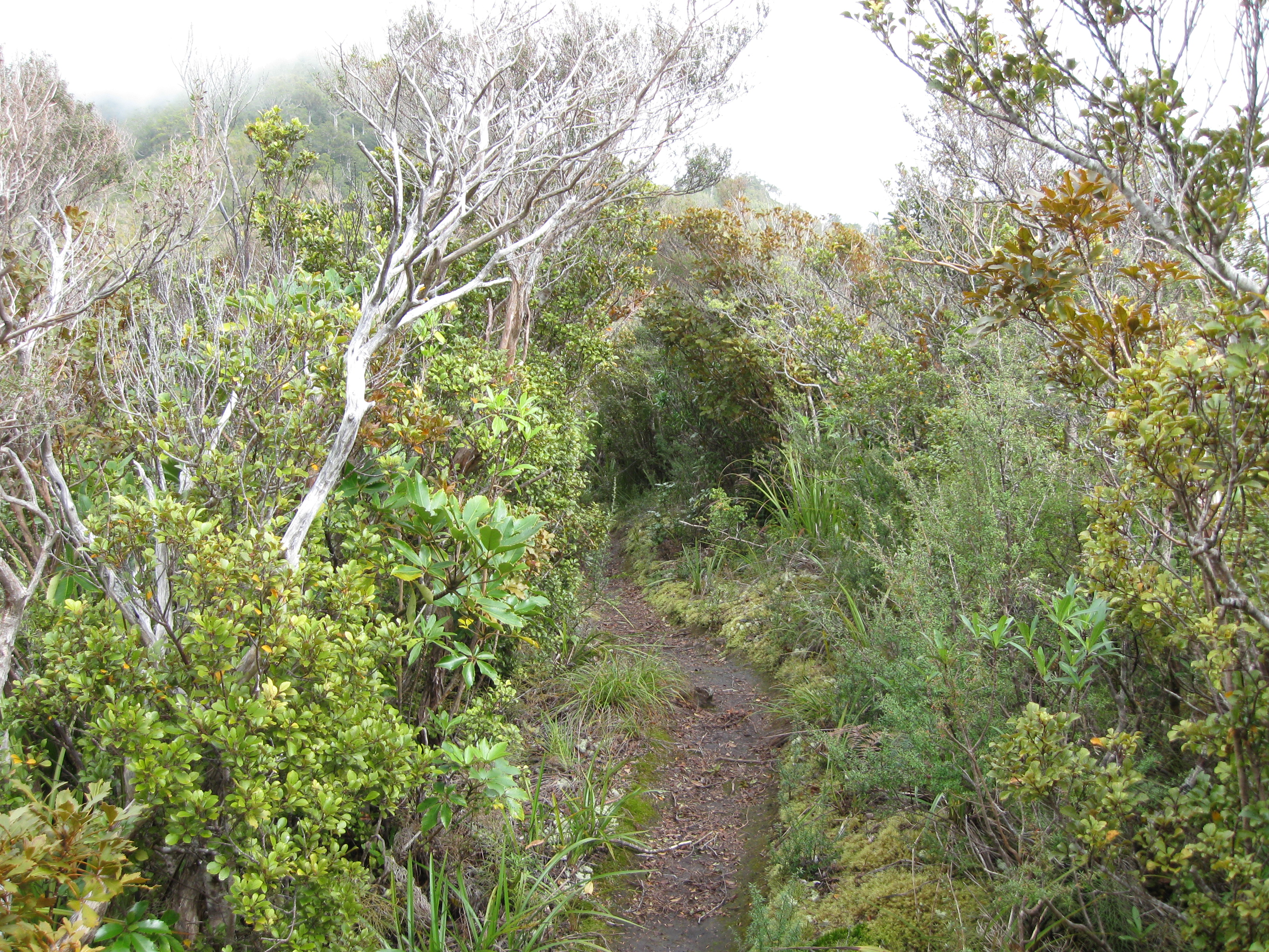
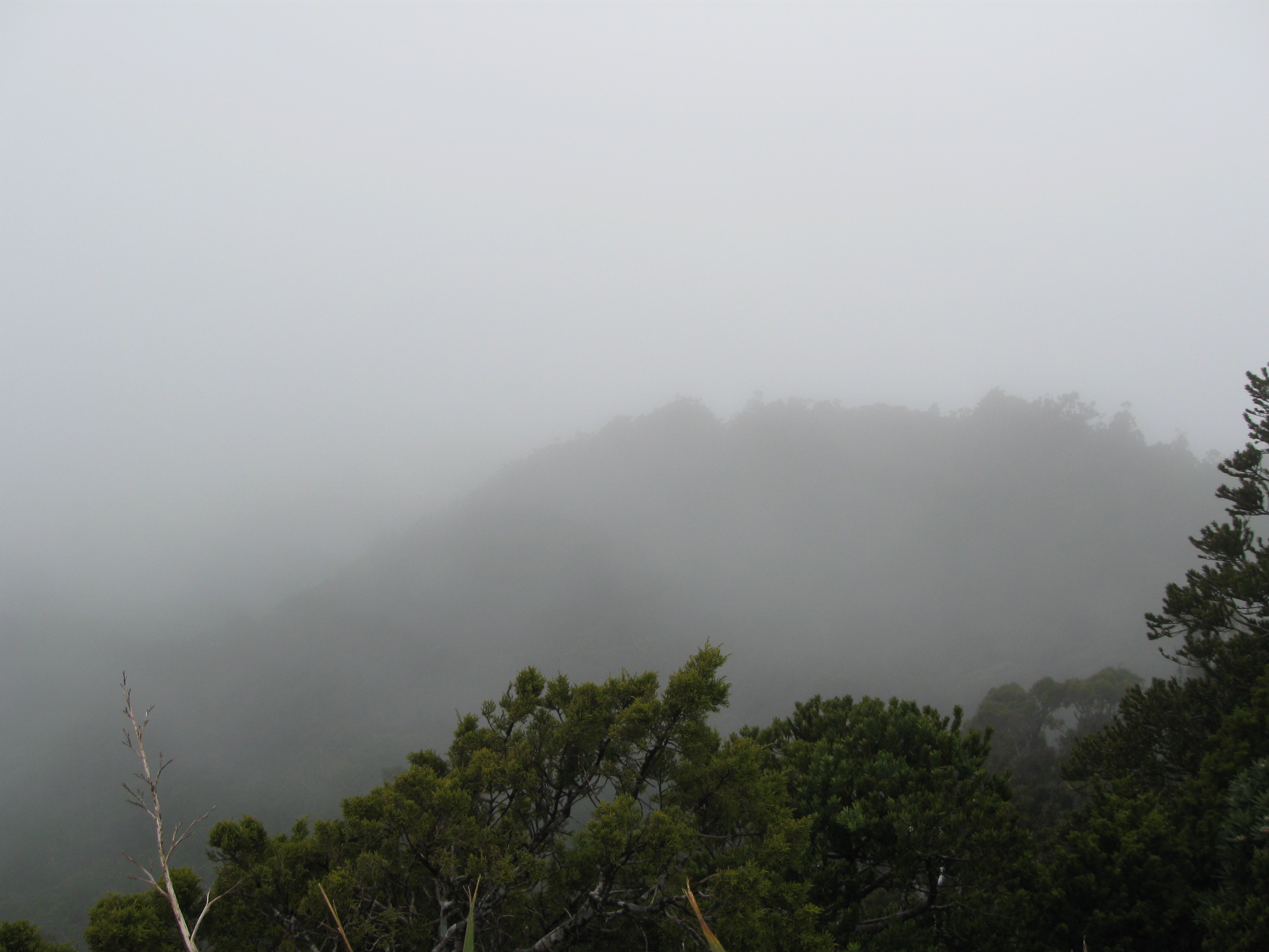
Unfortunately, the top was a bit cloudy.
The way back down off the summit was actually a really challenging stretch. The first part was a piece of cake because there were wooden stairs built, but then the stairs stopped, and it was just really steep/muddy trail with the only good places to step being roots, which when wet, are still a bit slippery. I had to use all of my balance and coordination, and a lot of caution in order to make my way down. At one point I could not find a step and I had to jump out, grab a tree branch and swing myself into a position where I could get decent footing. It was a very exciting decent to say the least.
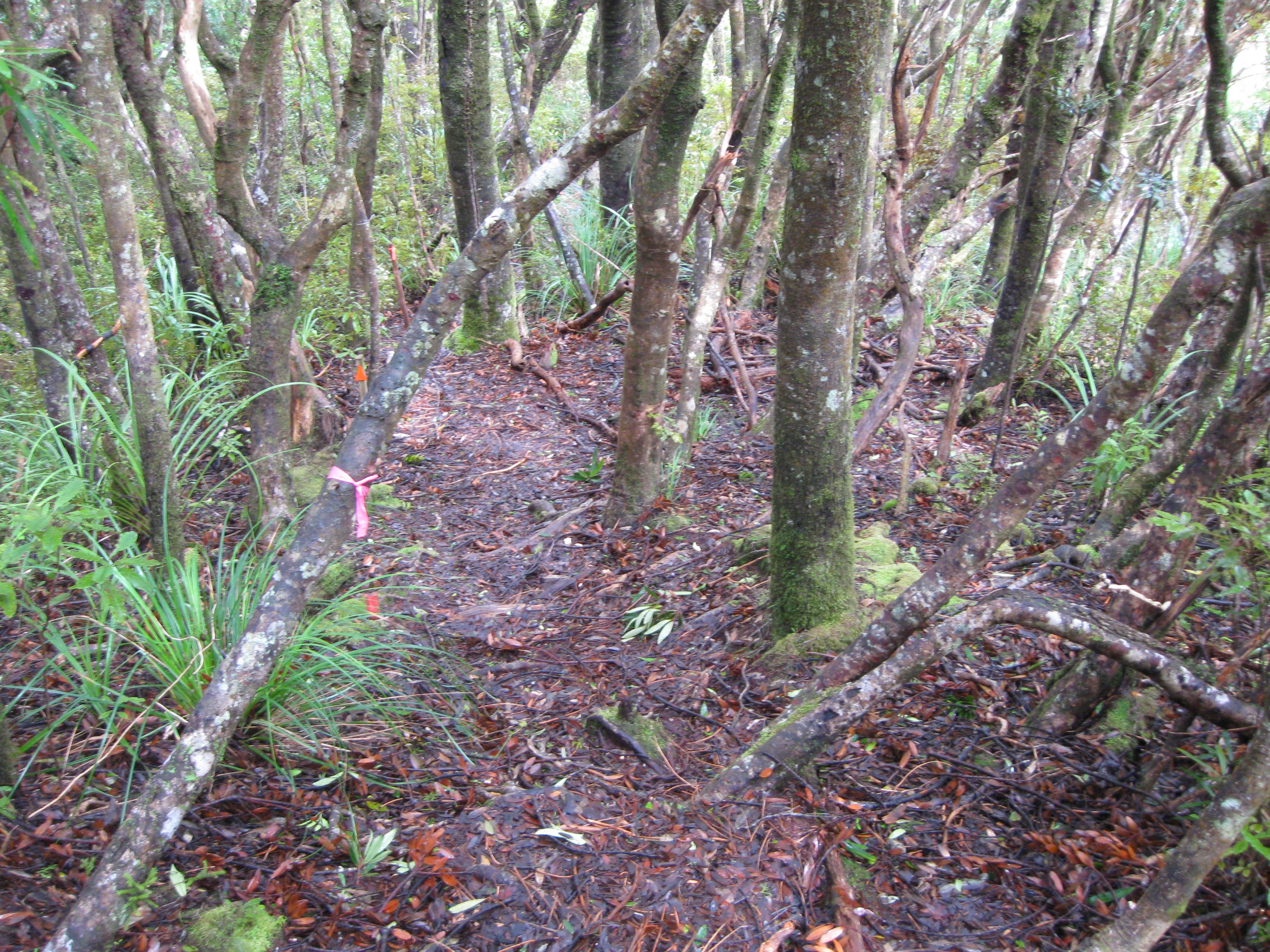
An example of a tricky decent.
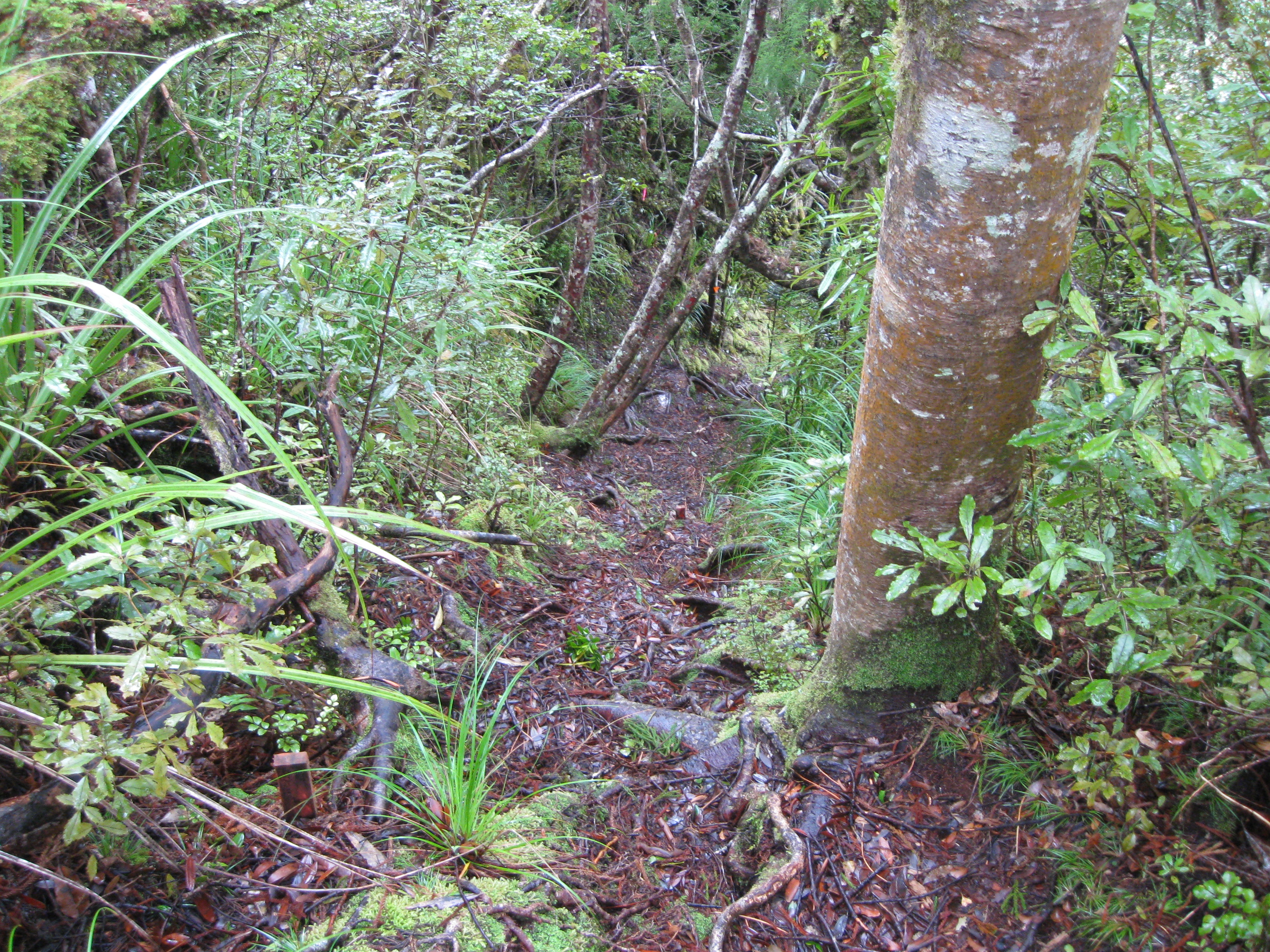
Another...
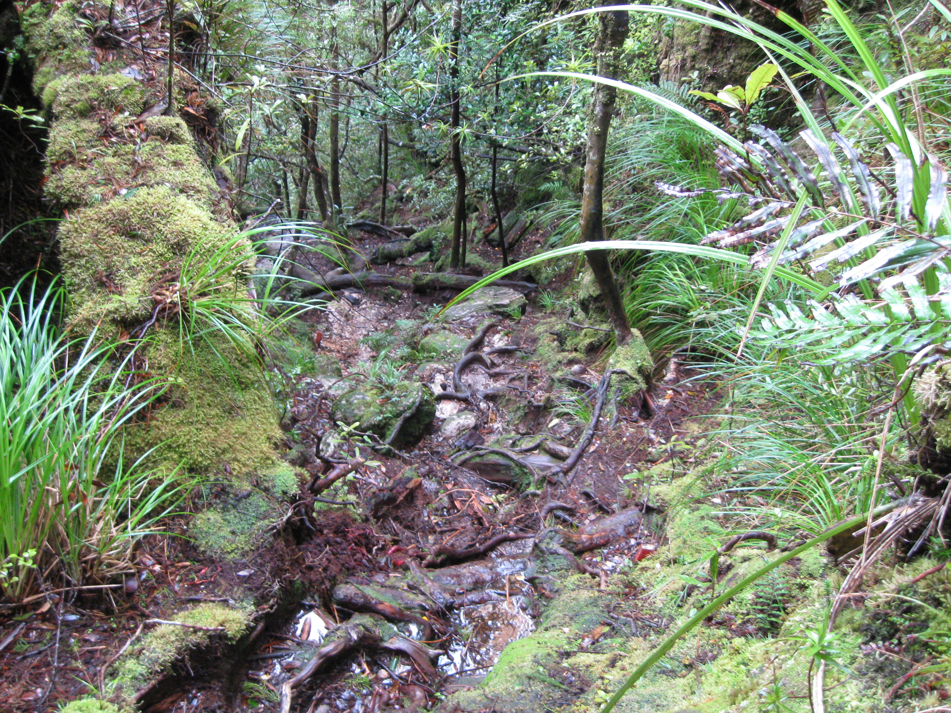
A last example of the tricky decent.
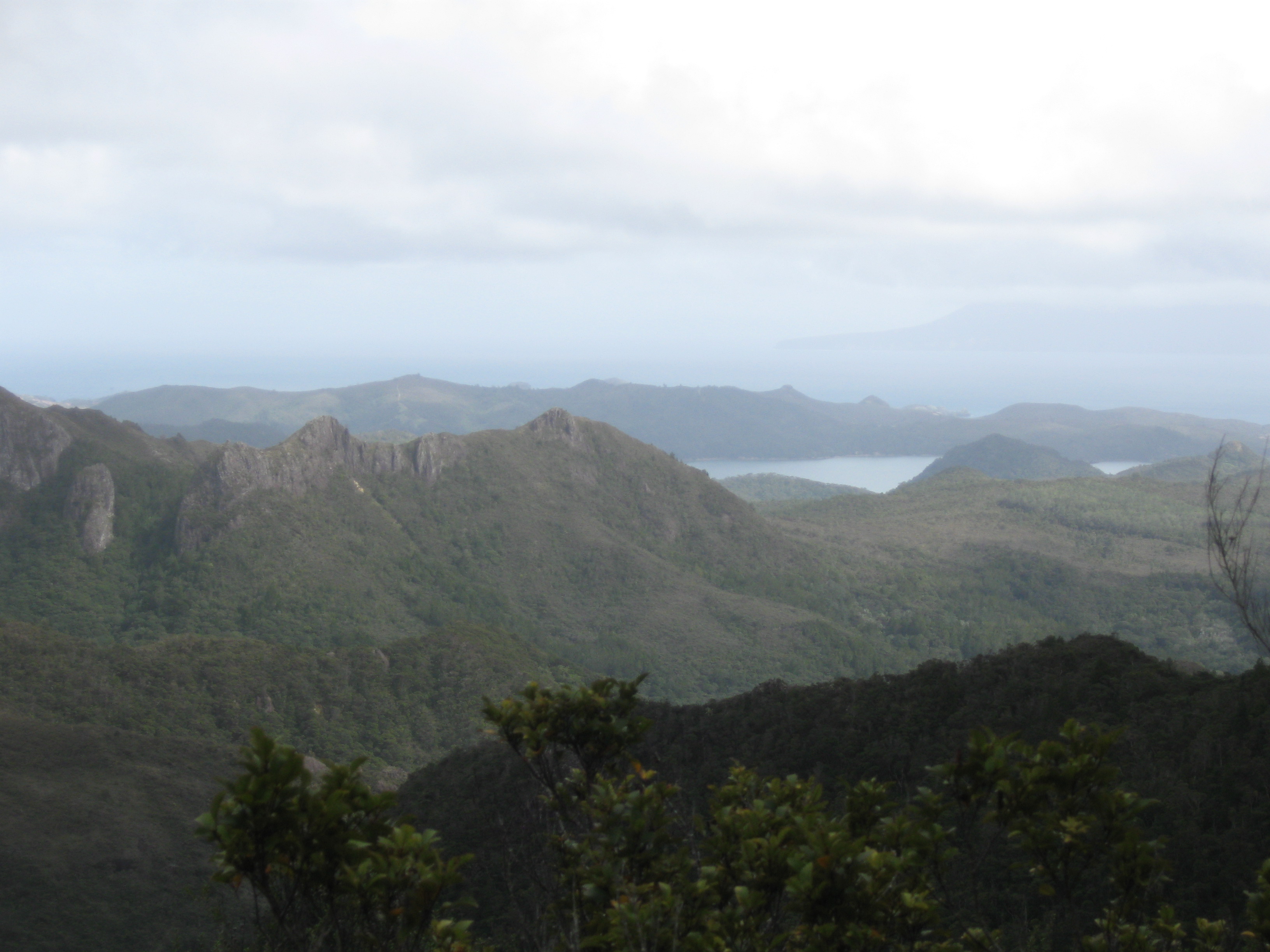
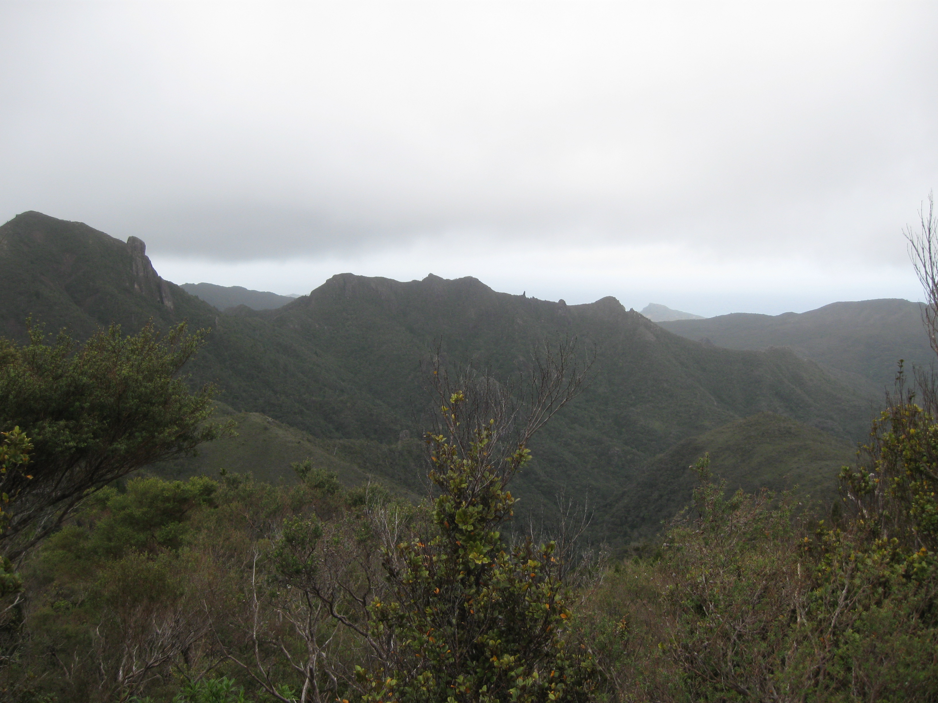
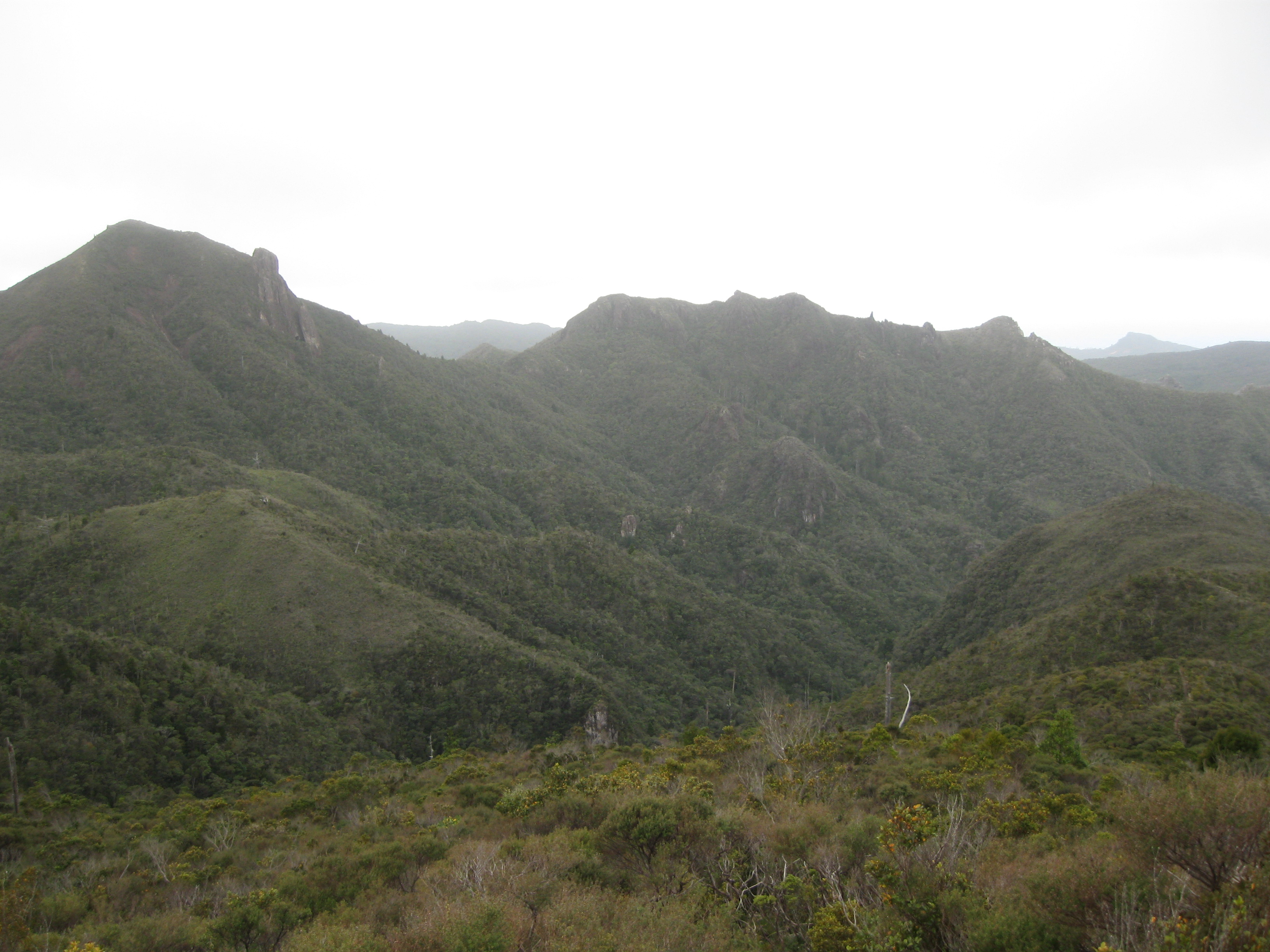
Once I got down off the peak the trail leveled out and there were a lot less trees so I was able to get some shots of surroundings.
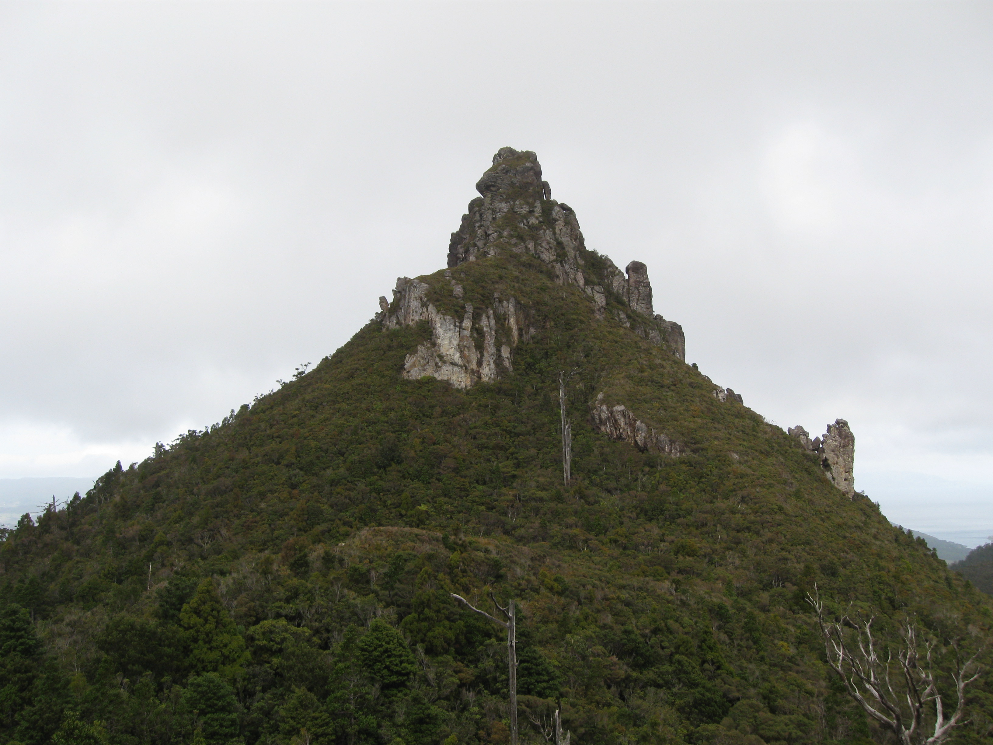
I thought this thing was pretty cool.
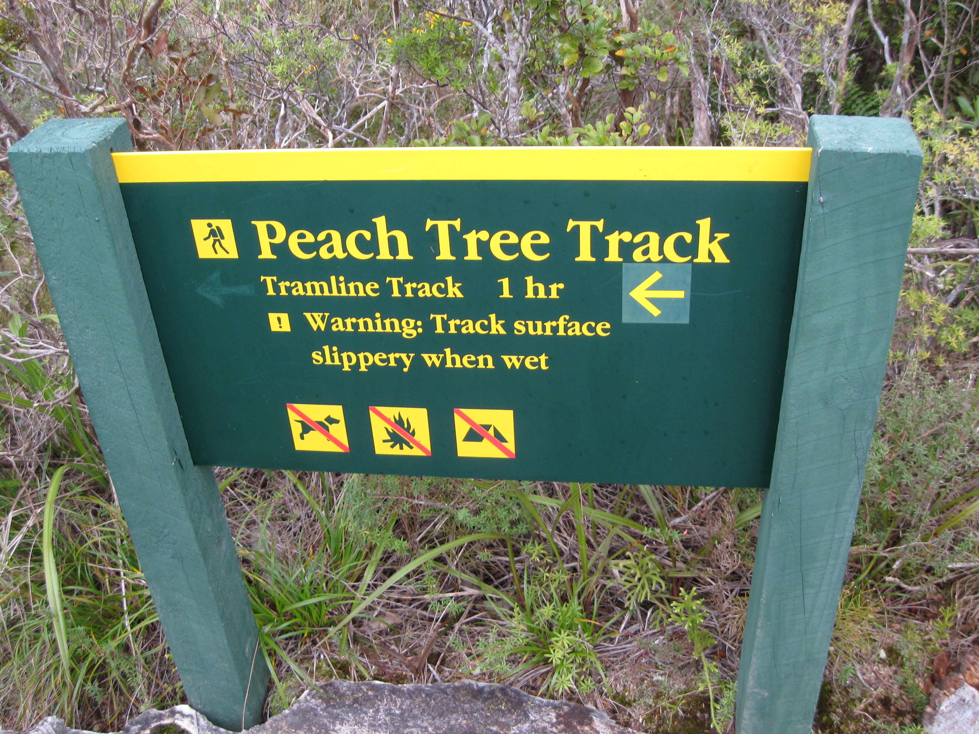
Slippery when wet... Well that last part was pretty slippery when wet, could this possibly be so much worse as to warrant a sign?
Yes.
I don’t know if you can tell from that picture, but that path is entirely clay, very steep, without hand-holds, and to one side is a steeper slope (it’s looking back up the slope to prove I survived). And wet clay to my worn down running shoes was like a banana peel to roller-skates, and I took to actually sliding down sections of the trail. My longest slide was maybe in the range of 15-20 feet, though in total I feel like I slide halfway down the mountain. A couple of times I slid right into the surrounding brush, though thankfully I never got too out of control so I was able to keep from starting any rolls down the side of the mountain.
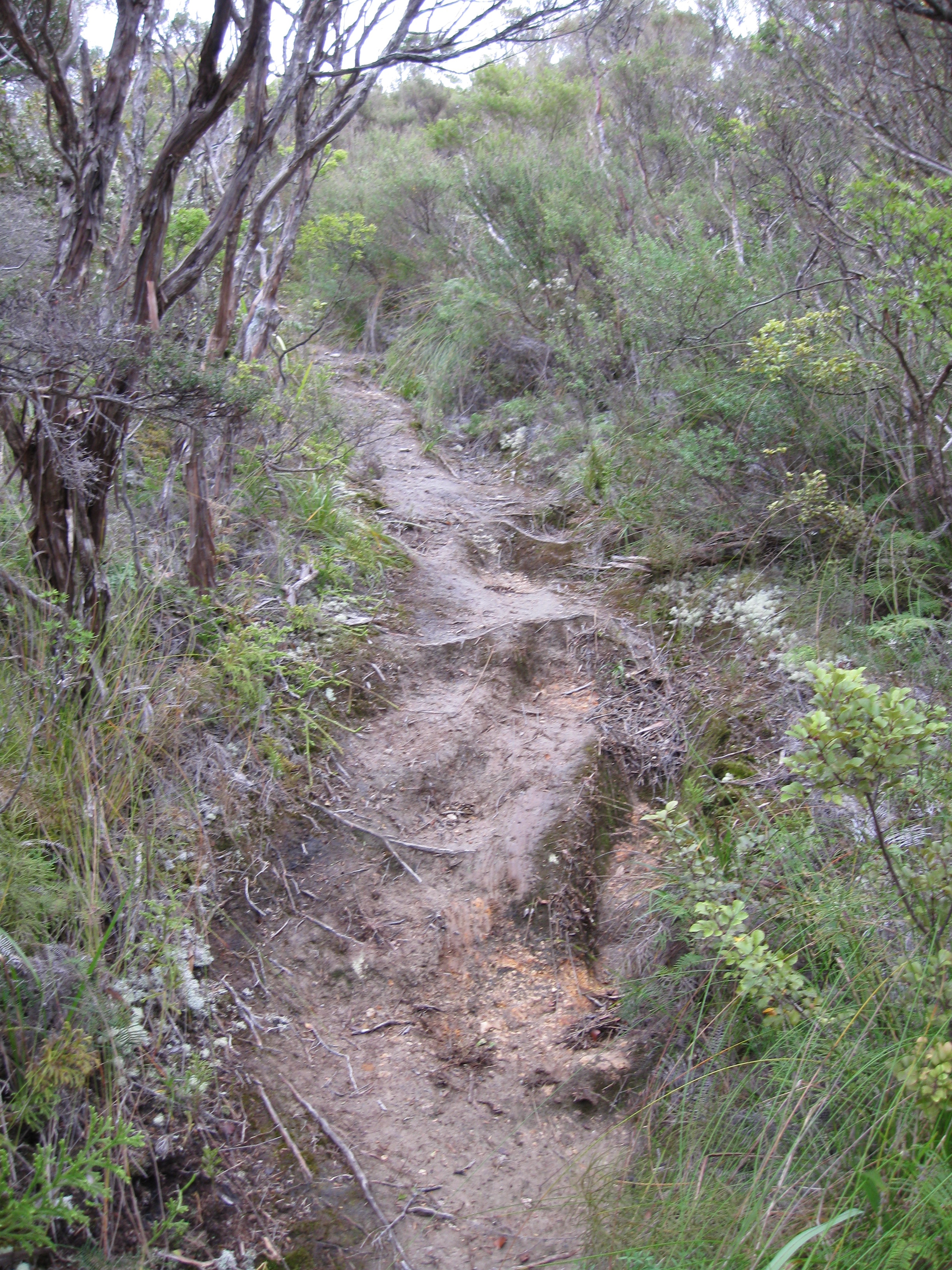
Another slope that gave me enough trouble to earn itself a picture.
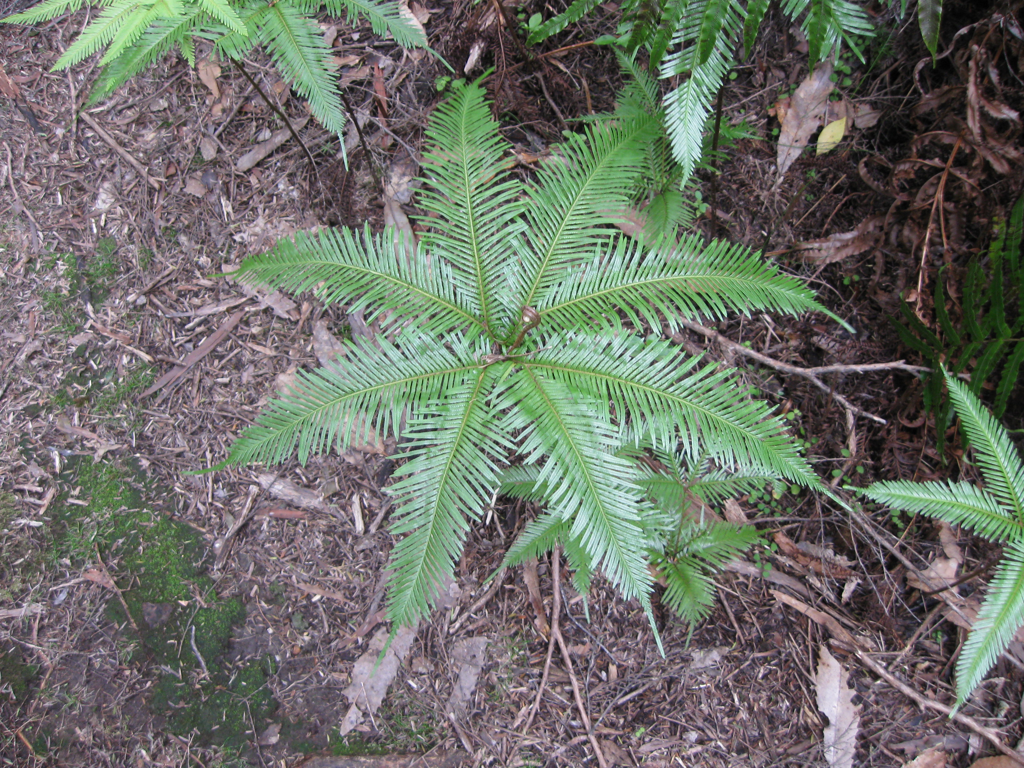
After the particularly slippery part I got low enough to get back into some plant-y-er parts, so the footing improved a great deal, which was a nice break.
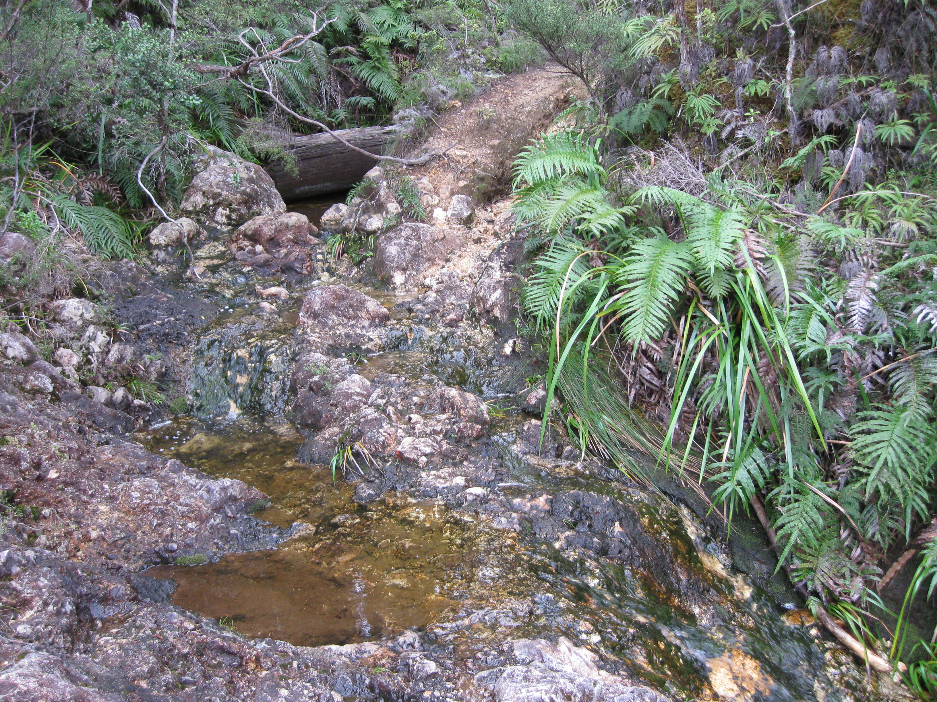
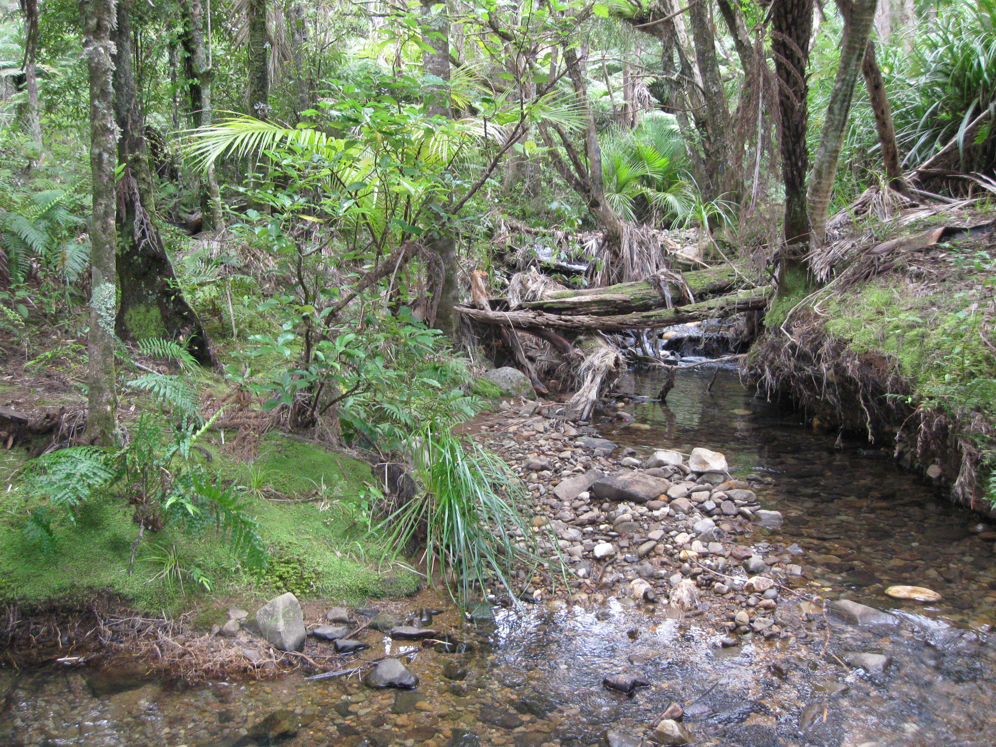
Getting a little wetter as I go further downhill...
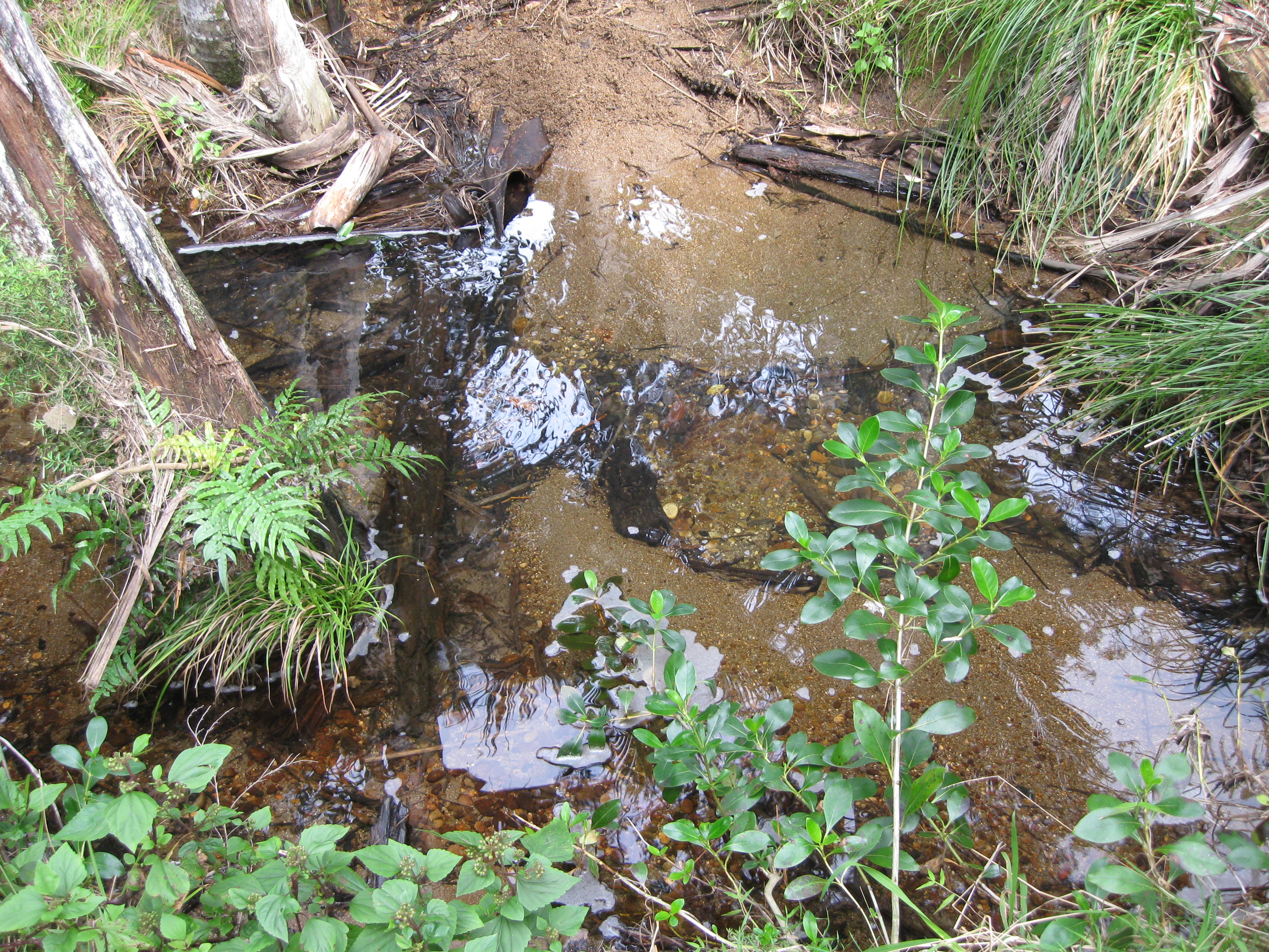
I think this was one of the spots where I just had to tighten my pack and take a running leap.
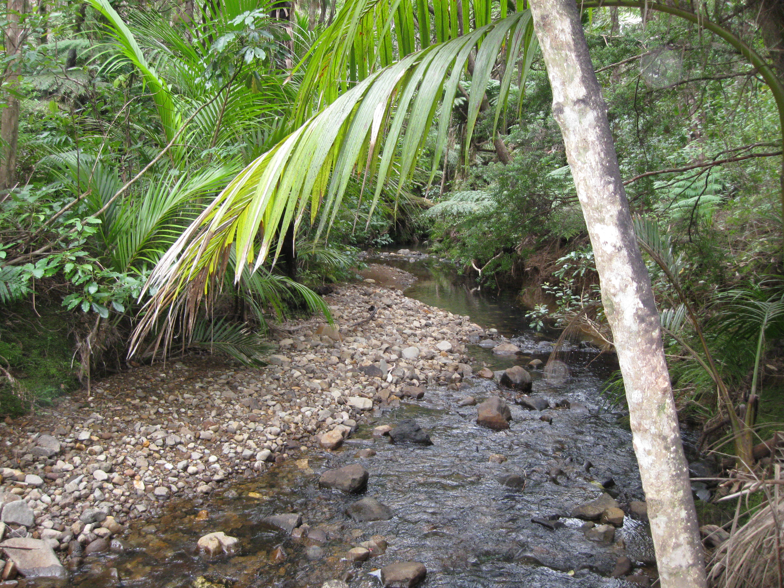
Luckily I didn't have to leap this one.
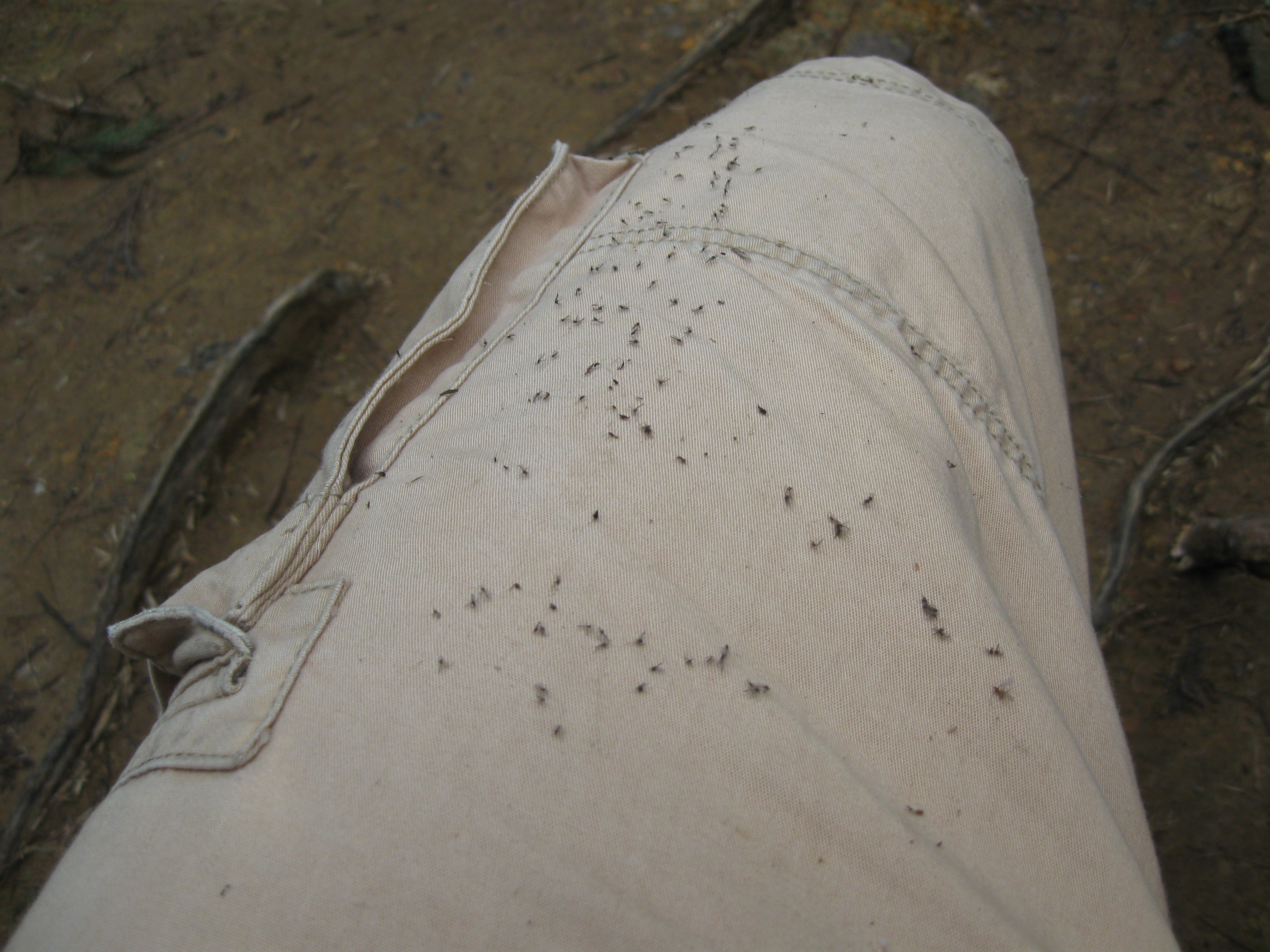
The other leg looks the same (as my hair probably did), and yes those are all little web-bound bugs.
For the last 45 minutes or so I found myself on a really nice, flat, smooth and well-maintained trail. It was pretty boring in comparison to my earlier adventures, but after 4 hours of hiking I was okay with that.
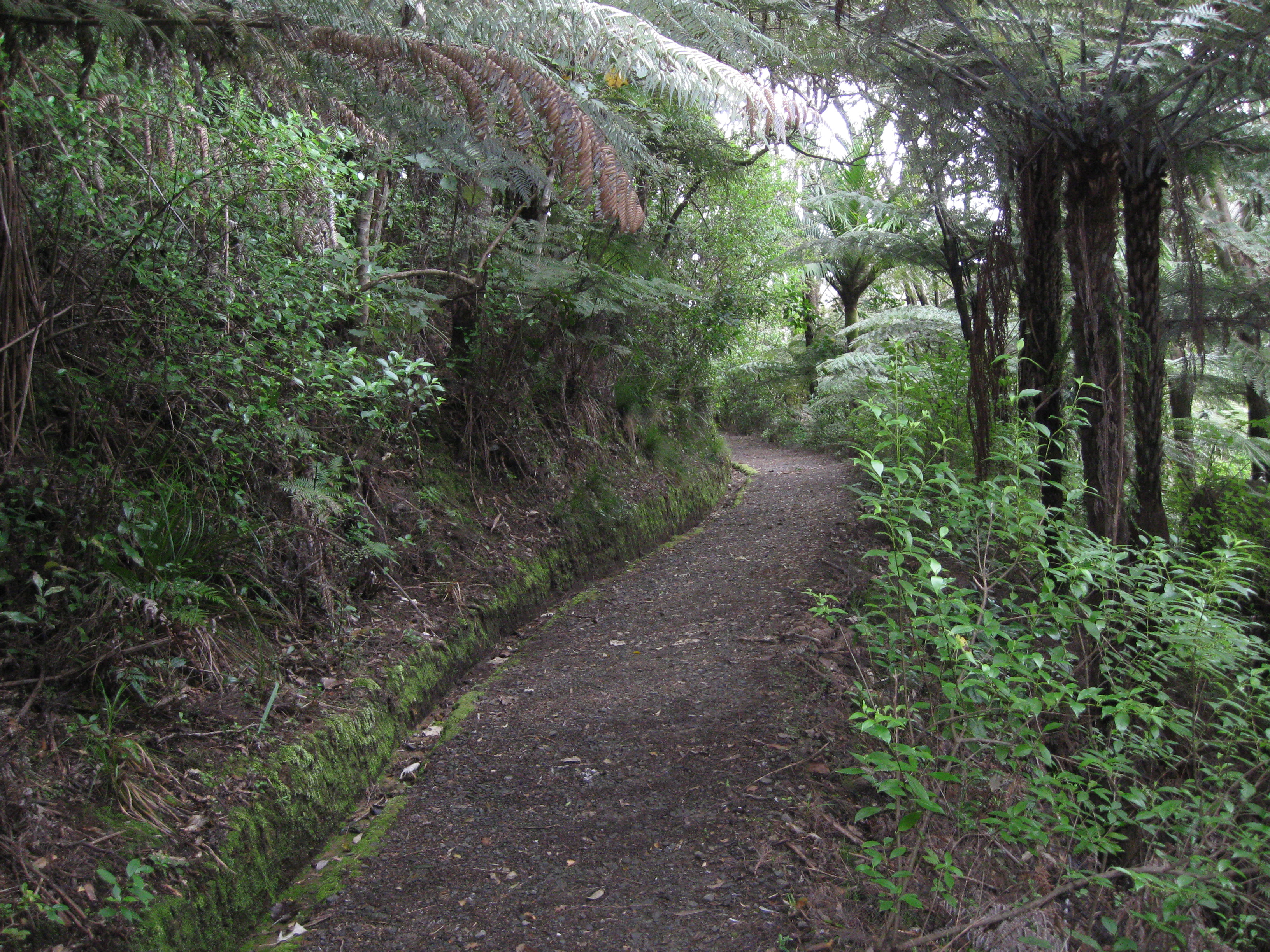
A lot better looking than that descent...
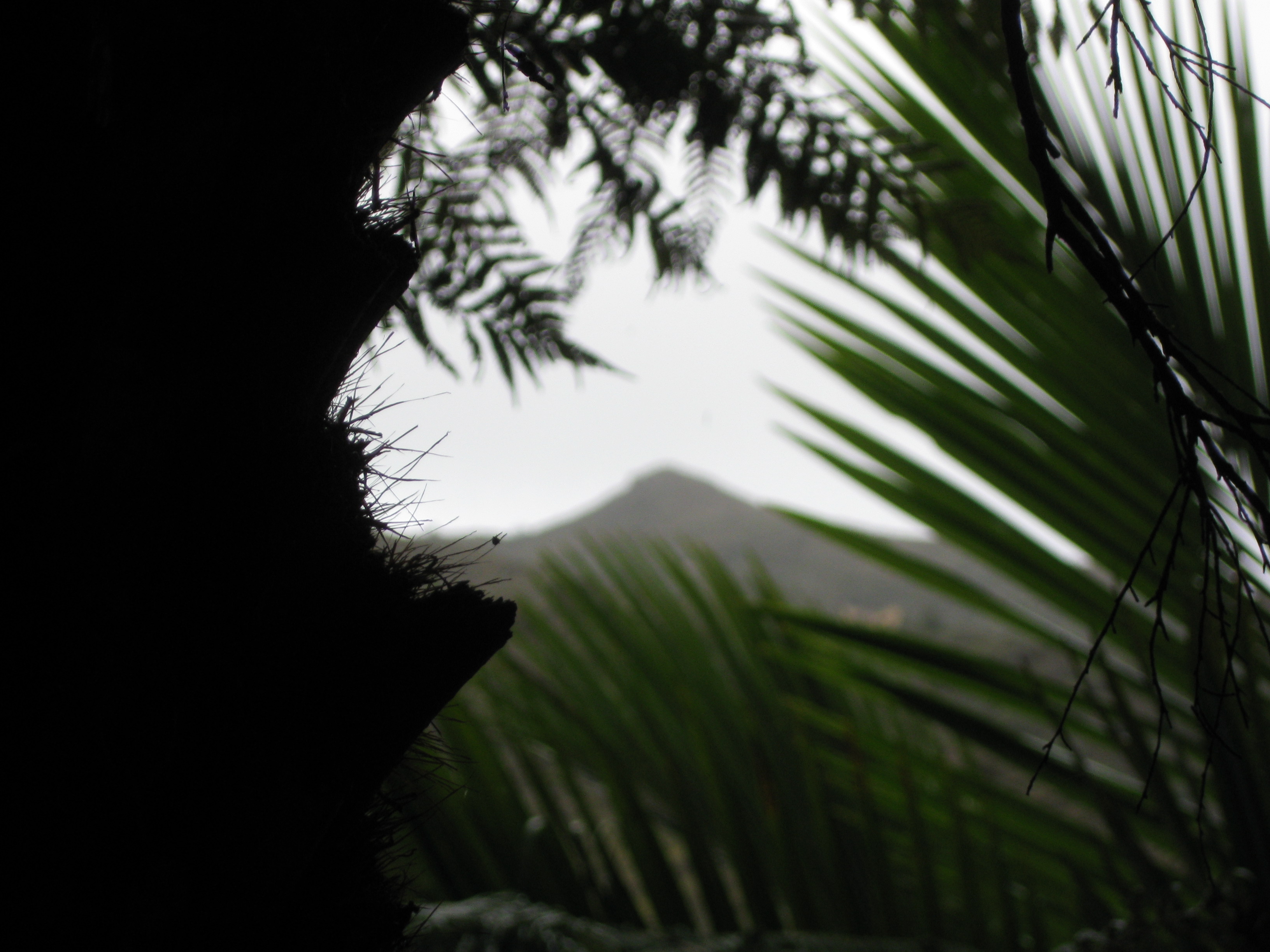
I think this was the summit, if so it's too bad I didn't make it to the top later in the day because the clouds are gone.
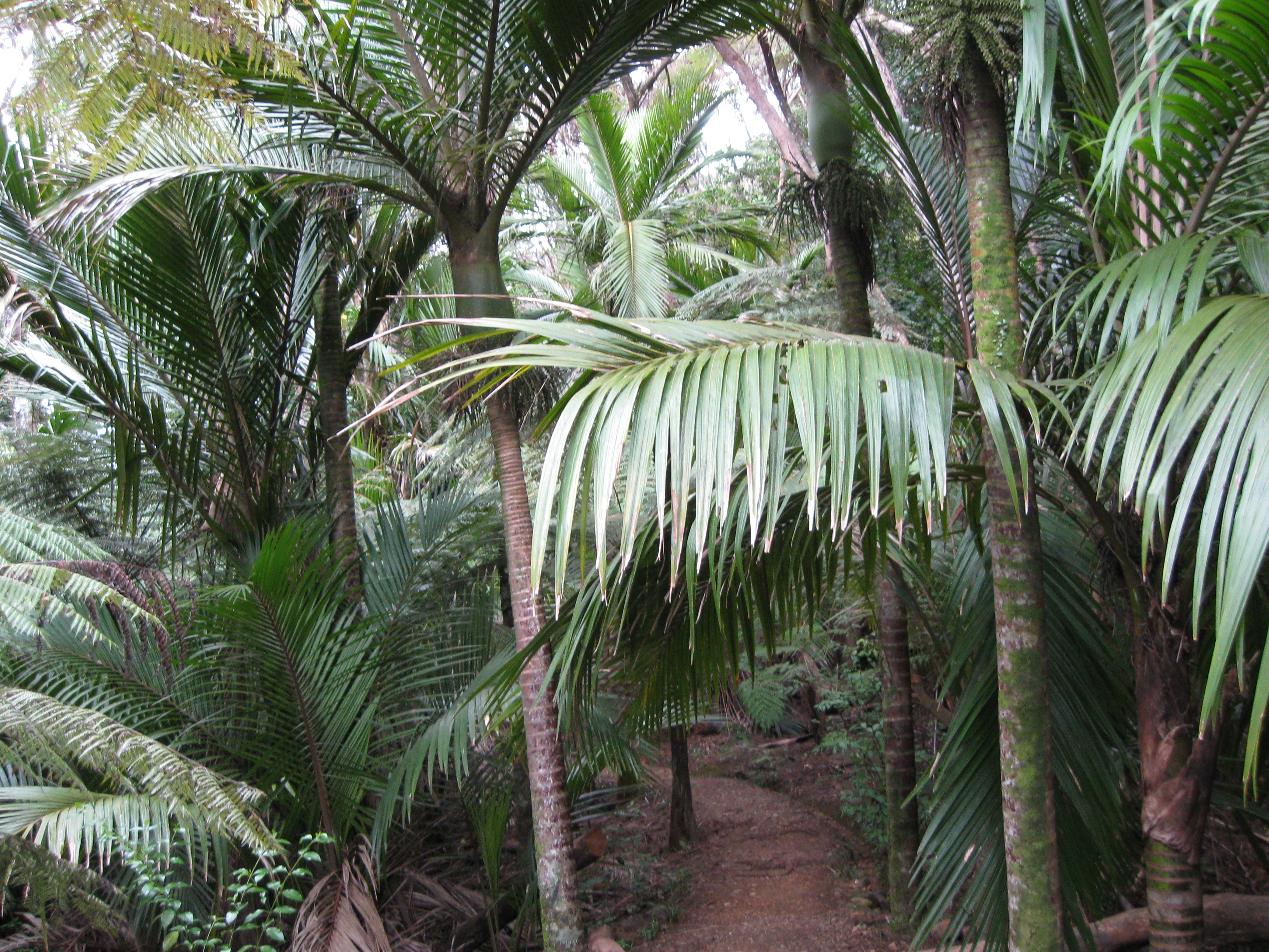
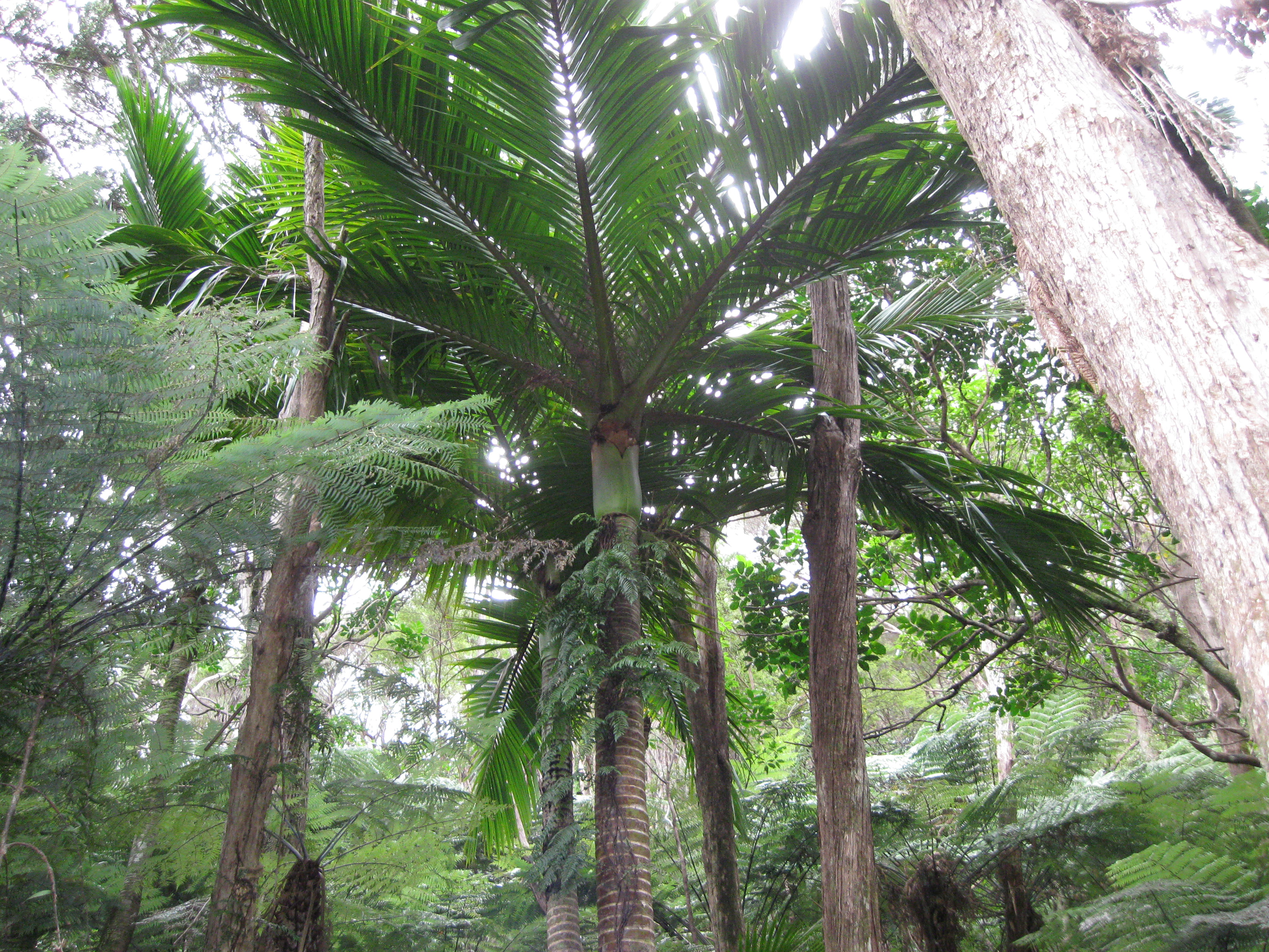
More tree-ferns.
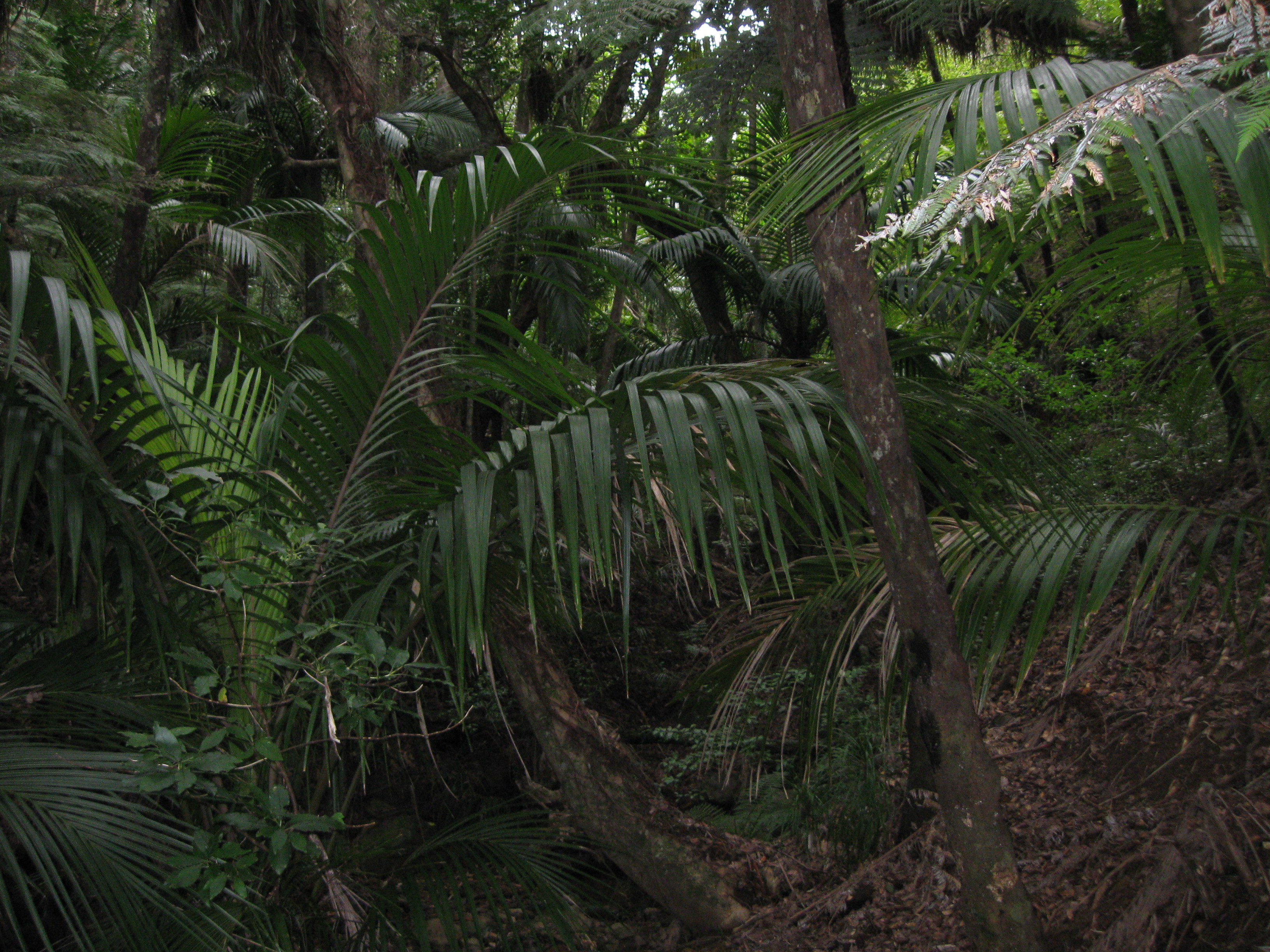
More green stuff.
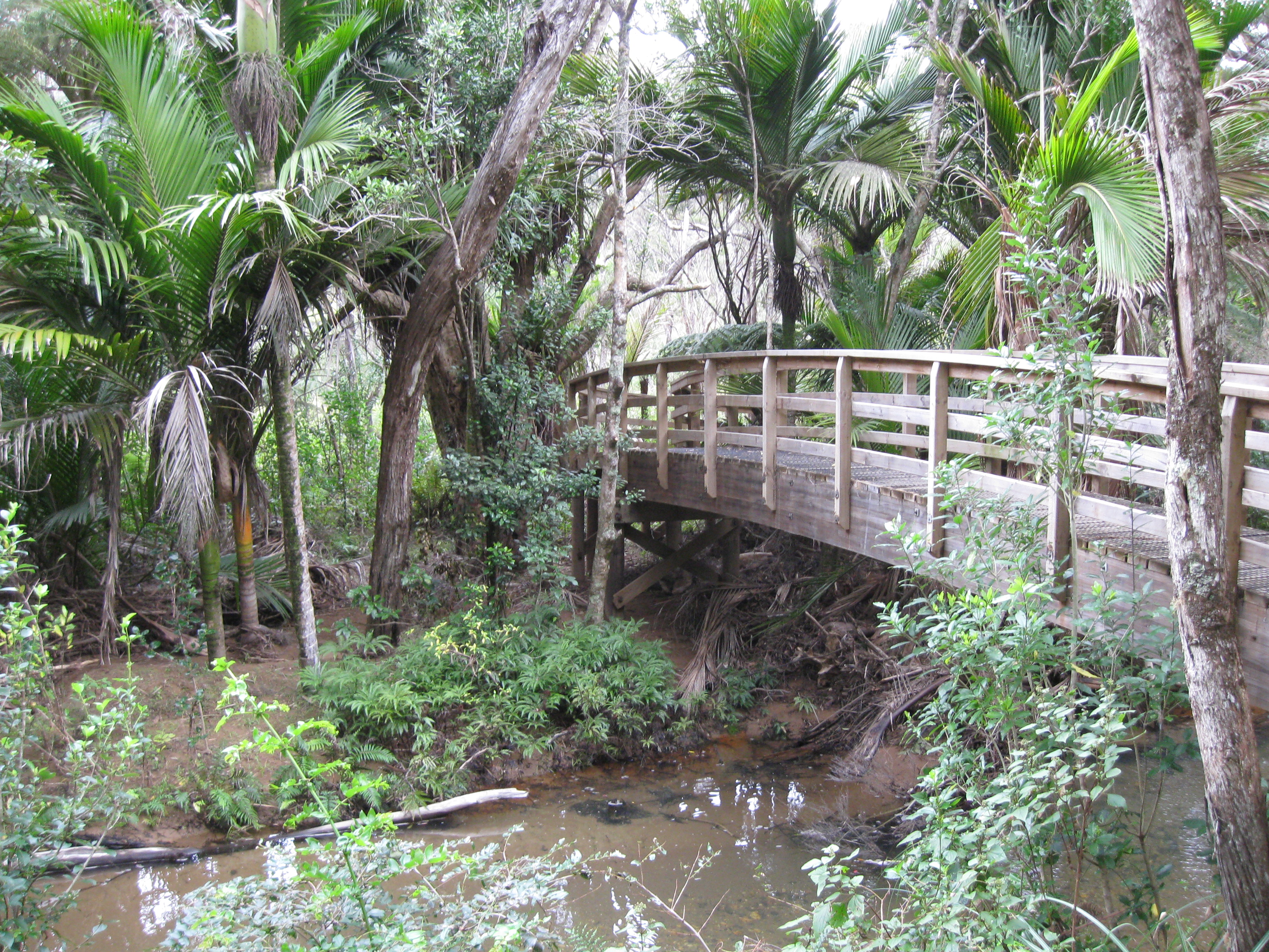
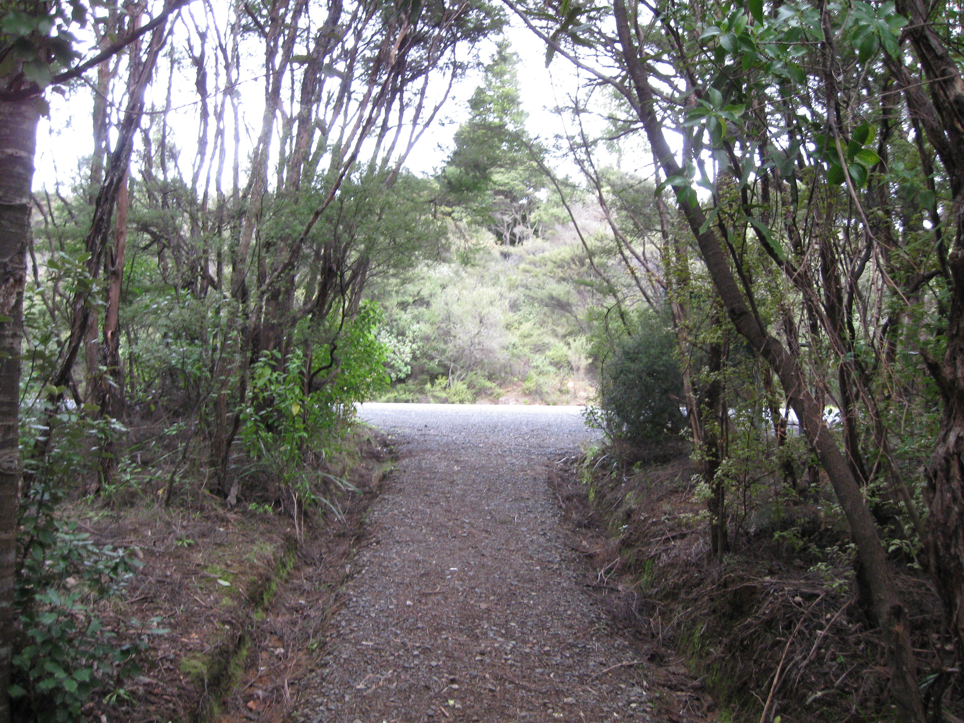
The end of the line.
All-in-all it was a very fun hike. I went through a whole bunch of different types of plant life, got to test my athletic mettle against a wet and tricky mountain, and despite the clouds I didn’t get rained on, which is awesome for New Zealand. I made it through in about 4 and a half hours, but Christine (from the lodge) came a half hour early thinking that I might make shorter then normal work of the tramp, so I wasn’t waiting terribly long at the end of the trail. For anyone wondering about the hot springs I mentioned, turns out from the signs that the interesting springs were off the trail by about an hour round trip, so I wasn’t able to make it, and the action I did see amounted to some bubbles in one of the rivers, nothing exciting.